ThEO
Deforestation and restoration
Melvin Lippe
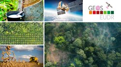
In order to develop solutions for sustainable forest development in the tropics and subtropics, remote sensing is used to investigate deforestation patterns, their drivers and causes. On this basis, we analyse how these changes affect ecosystem services and what potential there is for restoring forests.

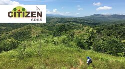
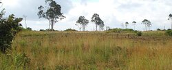
In many tropical regions, forests are threatened and often have to give way to agricultural and settlement areas. This land-use change has major implications for climate, biodiversity, and development prospects for local populations. In order to develop policy tools, the causes of deforestation and degradation and their impacts on ecosystem services and livelihoods must first be investigated - both at local and supra-regional scales. To do this, we use remote sensing methods, along with empirical biophysical and socioeconomic surveys at the landscape level.
The overall goal is to counteract deforestation and degradation of tropical and subtropical forests and to promote reforestation processes. This is flanked by the following individual measures:
- Analysis of land use change, especially deforestation and reforestation, and assessment of the restoration potential of forests in the tropics and subtropics (LULUCF).
- Supporting policy-making processes such as REDD+
- Support for deforestation-free supply chains
https://www.europarl.europa.eu/news/en/press-room/20230414IPR80129/parliament-adopts-new-law-to-fight-global-deforestation
Our research questions
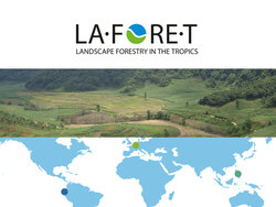
- How great is the deforestation pressure on the remaining intact forest areas in the tropics and subtropics, e.g. in Ecuador, the Philippines and Zambia?
- What is the potential for restoration and reforestation in Ethiopia?
- With what quality of analysis can forest strata (natural forest, secondary forest) be distinguished from agroforestry and plantations using high-resolution satellite data?
- How is information on forest carbon cycling, tree diversity, and wood use in Asia, Africa, and South America derived from satellite data?