
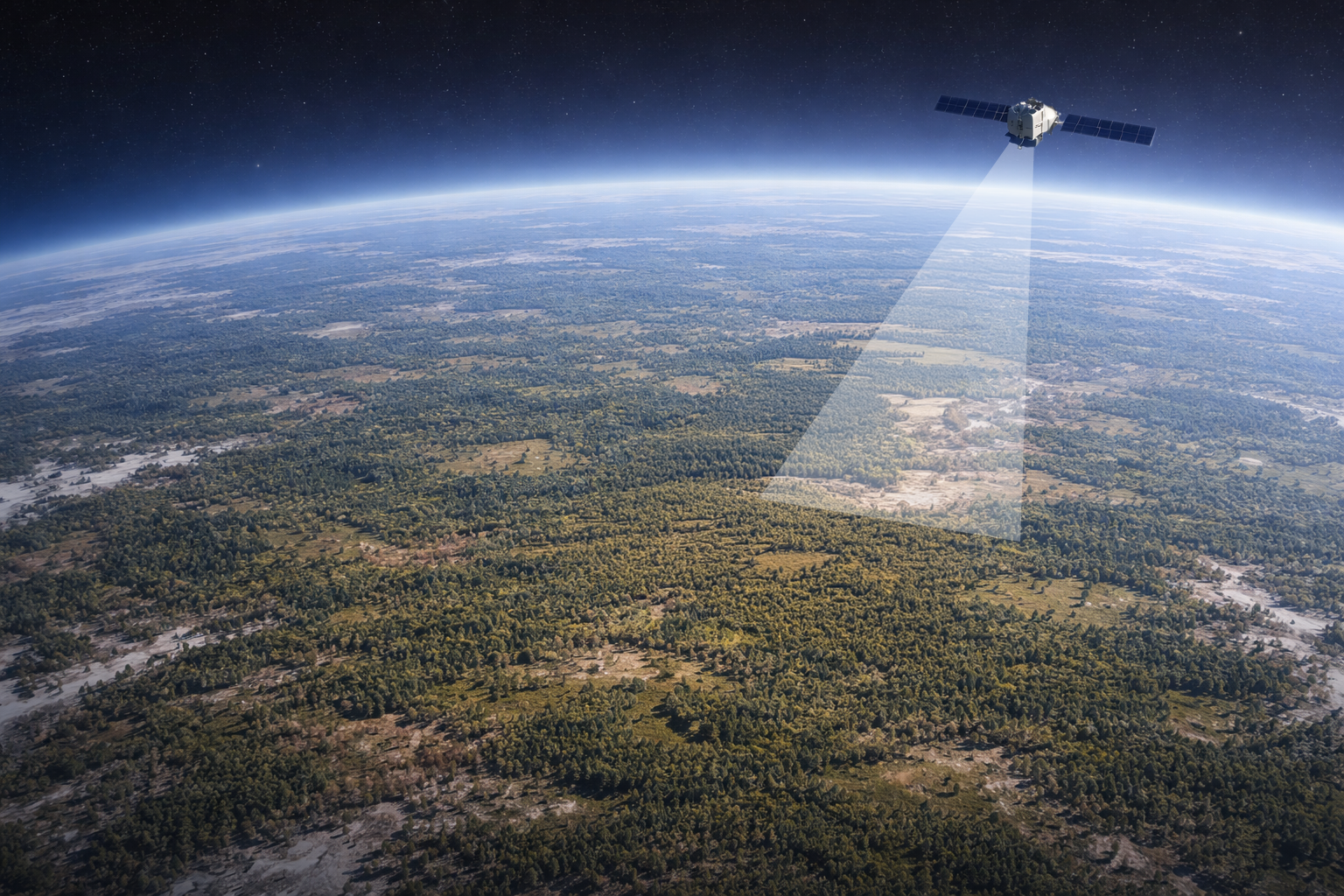
Eberswalde (2 April 2026). “For effective forest management, it is crucial to know where and to what extent forest areas have died,” says Dr Katja Oehmichen of the Thünen Institute of Forest Ecosystems. Scientists are therefore using data from the European Earth observation satellite Sentinel-2 to automatically detect and visualise dead forest areas. This data is fed into the remote-sensing-based National Forest Damage Monitoring System (FNEWs). The satellite-based monitoring complements existing forest monitoring and inventory systems by providing annual, detailed and comprehensive information on areas of disturbance within the forest.
An initial project tested, using specific areas, what such satellite-based monitoring should look like. The further development now shows, for the whole of Germany, which forest areas are affected by weather events such as storms and droughts, or by insect infestations. Up-to-date maps and statistics in various resolutions, based on satellite imagery, clearly illustrate the distribution and provide further detailed information on the affected areas within the forest.
The data is available to everyone
The data from FNEWs is openly accessible. The maps, for example, are available as a web service. This means they can be integrated into standard geographic information systems used by forestry authorities or third-party providers. In addition, the Thünen Institute offers an open API interface through which land area statistics can be retrieved for users’ own analyses. “We are pursuing an open-data approach. All data is freely available to ensure transparency and promote scientific collaboration,” says Thünen researcher Karsten Dunger from the FNEWs project.
Continuous development
The model used to produce the damage maps is continuously being optimised and validated. Consequently, new methodological improvements may also lead to retrospective adjustments in the results. Katja Oehmichen: “This ensures that damage in the forest is always recorded in line with the latest scientific findings and, at the same time, quality-checked.”


