![[Translate to English:]](/media/_processed_/e/3/csm_Demetra2_c8a192c0f8.jpg "[Translate to English:]")
![[Translate to English:]](/media/_processed_/e/2/csm_Demetra1_Panorama_8557ee3b13.jpg "[Translate to English:]")
Project
Impacts of agricultural land use and landscape structure on butterflies in agricultural landscapes
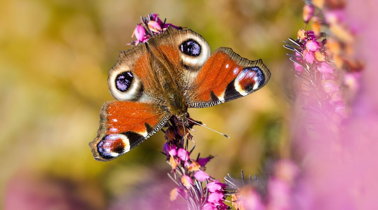
Butterflies in agricultural landscapes: impacts of agricultural land use and landscape structure across multiple temporal and spatial scales
Studies analysing the effects of land use on biodiversity across large spatial extents remain scarce. Thus, this project aims to increase our knowledge about the effects of land use and landscape structure on biodiversity over large spatial scales covering whole Germany.
Background and Objective
Because of their mobility, short life cycles as well as their sensitivity to habitat quality, butterflies are known as indicator organisms for the health of grassland ecosystems. As part of the German Butterfly Monitoring Scheme (“DEBMS”) organized by the Helmholtz-Centre for Environmental Research (UFZ), volunteers count butterflies all over Germany by repeated transect walks since 2005. Based on a collaborative project between the UFZ and the Thünen-Institute of Biodiversity we now aim to analyse data from the DEBMS to deepen our knowledge about the impacts of agricultural land use and landscape structure on butterflies across multiple temporal and spatial scales.
The collaborative project addresses the following two main objectives:
- to analyze the effects of agricultural land use and landscape structure on butterflies across multiple temporal and spatial scales, and
- to evaluate the representativeness of the DEBMS in terms of agricultural landscapes and diverse land-use intensities in Germany.
Approach
The project consists of several tasks, each of them addressing a specific research question. Within our first task we will analyse the effects of land use and land-use intensity on butterflies. To do so, we set up specific indicators based on agricultural census data at municipality level. Further understanding of the importance of habitat quality will give a second task, where we will focus specifically on the land-use intensity on grasslands by analysing the impact of mowing events on butterfly diversity based on remote sensing data. Additional tasks will concentrate on the representativeness of the DEBMS in regard of agricultural landscapes and diverse land-use intensities in Germany.
Results
In an initial analysis, we examined potential strengths and limitations when using large-scale agricultural census data to analyse the effects of land cover and land use intensity on butterflies (Kasiske et al. 2023). In particular, we aimed to answer the question of whether a high intensity of organic fertilization and a high herbivore livestock density in the surrounding landscape might lead to a decline in butterfly diversity and a shift in the species composition of butterfly communities. To address this question, we combined nationwide butterfly data from the German Butterfly Monitoring Scheme ("DEBMS") with agricultural census data at the municipal level for the years 2007, 2010, and 2016. The results indicate that high herbivore livestock densities are associated with a lower number of butterfly species. Furthermore, we observed that high livestock densities lead to a shift towards mobile habitat generalist butterfly species within the communities. These findings emphasize the importance of maintaining low herbivore livestock densities to halt the decline in insect diversity in agricultural landscapes. The study also highlights that agricultural census data at the municipal level are generally suitable for explaining spatial patterns of biodiversity in open landscapes. However, the data have some limitations that may restrict potential analyses. Based on this study, it is assumed that certain effects (such as the effects of organic fertilizer intensity) can only be marginally represented due to the broad spatial resolution of agricultural census data. To ensure better temporal and spatial information content in the future, it is recommended to increasingly incorporate data from sources such as the Integrated Administration and Control System (IACS) and remote sensing for nationwide analyses.
Thünen-Contact

Involved Thünen-Partners
Involved external Thünen-Partners
- Helmholtz-Zentrum für Umweltforschung (UFZ)
(Leipzig, Deutschland)
Funding Body
-
Federal Ministry of Agriculture, Food and Regional Identity (BMLEH)
(national, öffentlich)
Duration
11.2020 - 5.2024
More Information
Project status:
finished
Publications
- 0
Kasiske T, Klimek S, Dauber J, Harpke A, Kühn E, Levers C, Schwieder M, Settele J, Sietz D, Tetteh GO, Musche M (2025) Identifying typical patterns of land-use and landscape structure in citizen science butterfly monitoring. Ecol Indic 180:114317, DOI:10.1016/j.ecolind.2025.114317
- 1
Kasiske T, Dauber J, Dieker P, Harpke A, Klimek S, Kühn E, Levers C, Schwieder M, Settele J, Musche M (2024) Assessing landscape-level effects of permanent grassland management and landscape configuration on open-land butterflies based on national monitoring data. Biodiv Conserv 33(8-9):2381-3404, DOI:10.1007/s10531-024-02861-6
- 2
Kasiske T, Dauber J, Harpke A, Klimek S, Kühn E, Settele J, Musche M (2023) Livestock density affects species richness and community composition of butterflies: A nationwide study. Ecol Indic 146:109866, DOI:10.1016/j.ecolind.2023.109866
- 3
Kasiske T (2021) Tagfalter in Agrarlandschaften - Einfluss von Landnutzung und Landschaftsstruktur auf verschiedenen räumlichen und zeitlichen Skalen. Oedippus 39:36-38


