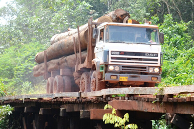
The work addresses the new requirements of the EU Deforestation Regulation (EUDR), which will require companies and authorities to demonstrate that key commodities placed on the EU market are produced without deforestation, making early preparation essential.
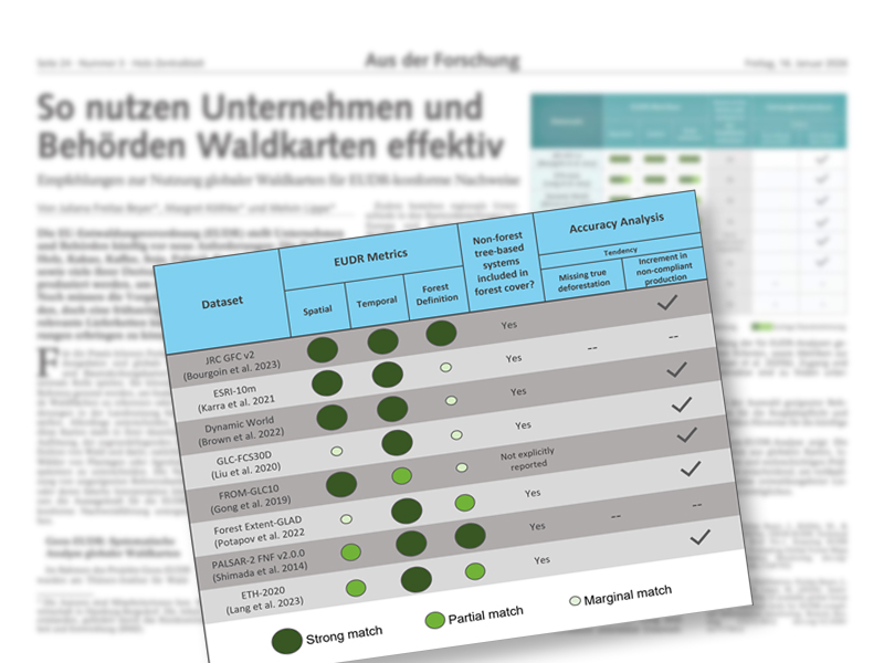
Remote sensing data and global forest maps can play a central role in this process, but their suitability varies widely in spatial resolution, forest definitions, and the ability to distinguish natural forests from plantations or agroforestry systems. Based on a systematic assessment of 21 global forest datasets, the underlying scientific study found that only eight are suitable as EUDR reference maps, with just two fully aligned with the FAO-based EUDR forest definition. The analysis further reveals regional biases, with forest areas often overestimated in Europe and North America and underestimated in parts of Africa.
Overall, the article emphasizes that combining multiple datasets with regional information and building monitoring capacity is essential for reliable EUDR-compliant verification.
- Freitas Beyer J, Köthke M, Lippe M (2026) So nutzen Unternehmen und Behörden Waldkarten effektiv. Holz Zentralbl 152(3):24
- The Project GEOS-EUDR