Project
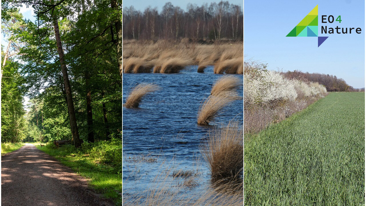
EO4Nature - Earth observation to support nature-based solutions for climate and biodiversity
EO4Nature - Earth observation to support nature-based solutions for climate and biodiversity
The better the condition of ecosystems, the greater their contribution to climate protection. Improving the condition of ecosystems has a positive impact on climate effectiveness and thus makes a direct contribution to climate protection. Earth observation (EO) can be used to record and evaluate the implementation and success of measures to improve conditions and thus contribute to natural climate protection.
Background and Objective
As part of its Federal Action Plan on Nature-based Solutions for Climate and Biodiversity (ANK), the Federal Ministry for the Environment (BMUKN) has decided to utilize the possibilities offered by satellite-based Earth observation for comprehensive environmental monitoring. The aim is to establish a service-based infrastructure for applications in environmental and nature conservation monitoring at various levels of administration (federal, state, and local). This will also serve to inform the public.
The EO4Nature project is developing and providing a modular toolbox (EO4Nature Toolbox) for comprehensive environmental monitoring in the field of natural climate protection based on satellite data. The EO4Nature Toolbox comprises a series of indicators that can support action monitoring and evaluation for the ANK. They also provide an essential data basis for improving spatially explicit modeling of GHG emissions from land use, land use change, and forestry (LULUCF).
Approach
The measures for natural climate protection cover a range of fields of action that encompass the relevant ecosystems in terms of their potential climate impact (e.g., peatlands, floodplains, coasts, forests, soils, settlements). Basic indicators have been defined for each field of action that are suitable for describing the condition and change of ecosystems. These can be monitored on a large scale on the basis of satellite data. The indicators provide the basis for field-specific EO-based services in the EO4Nature portal.
The Thünen Institute is developing methods for the automated, comprehensive creation of such basic indicators as a contribution to three ANK fields of action:
- Field of action 1: Protection of intact peatlands and rewetting
- Field of action 5: Forest ecosystems
- Field of action 6: Soils as carbon sinks
Data and Methods
The data from the Sentinel satellites of the European Earth observation program Copernicus (Sentinel-1 / -2), with their high spatial resolution and regular global coverage, form the data basis for the creation of the indicators. For individual indicators or the mapping of small-scale landscape patterns and elements, the resolution of the Sentinel data (10 m) is not sufficient. In these cases, very high-resolution Earth observation data from commercial providers is also used, which is available for official use under a framework agreement (e.g., PlanetScope).
Data management and processing uses cloud-based infrastructures provided by the DLR (CODE-DE) and ESA (CDSE), in conjunction with a high-performance cluster at the Thünen Institute. The methods used to generate ecosystem indicators for the individual EO4Nature services are based on machine learning and artificial intelligence.
Our Research Questions
Action area 1: Protection of intact peatlands and rewetting
The climate impact of peatlands depends largely on the water level in the peat body and changes in this level. The water level in peatlands and the degree of rewetting cannot be measured directly using remote sensing methods, but it is reflected in land use, land use intensity, and the characteristics of the vegetation. Research and development in this field of action addresses the question of how satellite data can be used to derive comprehensive characteristics as proxies for the rewetting status.
Indicators:
- Flooding: The flooding indicator supports comprehensive modeling of the water level and condition of peatlands as a basis for calculating emissions and, more generally, for evaluating the implementation of measures in natural climate protection.
- Land use, intensity of use, vegetation dynamics: These indicators reflect grassland use and intensity of use (e.g., mowing frequency), including extensively used, rewetted pastures and meadows. On the other hand, they consider converted, formerly drained areas where new forms of vegetation are established (sedges, reeds, cattails), including extensive or sustainable wet forms of use.
- Emissions from peatlands: The aim is to map emissions and emission reductions explicitly in terms of space and time. To this end, emissions from drainage-based land use before the start of measures are compared with the reduced emissions or sink capacity after the measures have been implemented.
Action area 5: Forest ecosystems
Intact forests store enormous amounts of carbon. Measures for forest conversion and reforestation are intended to develop climate-resilient forest ecosystems through biodiversity and structural diversity. The ANK field of action “Forest ecosystems” aims, among other things, to promote activities for the conversion to species-rich and climate-resilient mixed deciduous forests. Research and development in this action area focuses on the question of how satellite data can be used to derive characteristics of the species richness of forest stands.
Indicator:
- Tree species: The occurrence of tree species plays a fundamental role in the observation and assessment of forests. Tree species are an important factor in calculating carbon sequestration in forests. In addition, the occurrence of tree species provides information about the natural features of the forest habitat and reflects the effects of climate change.
Field of action 6: Soils as carbon sinks
Soils act as key reservoirs for greenhouse gases, especially CO2. In order to avoid greenhouse gas emissions and retain organic carbon in the soil, soils should be managed in a way that conserves them and increases their humus content. Research and development in this field of action focuses on how satellite data can be used to record measures for humus conservation and enrichment.
Indicators:
- Soil management: Dense time series of satellite data (Landsat, Sentinel-2) can be used to map soil cover characteristics and soil cultivation measures throughout the entire growing year that have an impact on the climate effectiveness of soils.
- Woody features: Very high-resolution satellite data offer the possibility of detecting linear and areal woody structures. In addition, comprehensive aircraft-based LiDAR data will potentially enable the determination of 2D (e.g., crown space, overhanging trees in hedges) and 3D stand structure (height, volume) characteristics for the woody features detected from the satellite data.
Links and Downloads
Thünen-Contact

Involved Thünen-Partners
- Blickensdörfer, LukasBW Institute of Farm Economics
- Bonaiuti, SimonaAK Institute of Climate-Smart Agriculture
- Oehmichen, Katja WO Institute of Forest Ecosystems
- Piayda, ArndtAK Institute of Climate-Smart Agriculture
- Schwieder, MarcelBW Institute of Farm Economics
- Taghavi, AidaBW Institute of Farm Economics
- Tiemeyer, BärbelAK Institute of Climate-Smart Agriculture
- Trouillier, MarioBW Institute of Farm Economics
Funding Body
-
German Aerospace Center (DLR)
(national, öffentlich)
Duration
4.2025 - 12.2027
More Information
Project status:
ongoing
Publikationen zum Projekt
- 0
Muro J, Blickensdörfer L, Don A, Köber A, Asam S, Schwieder M, Erasmi S (2025) Hedgerow mapping with high resolution satellite imagery to support policy initiatives at national level. Remote Sens Environ 328:114870, DOI:10.1016/j.rse.2025.114870
- 1
Lobert F (2025) Remote sensing of cropland dynamics for climate-related agricultural monitoring in Germany. Berlin: Humboldt-Univ, xxi, 175 p, Berlin, Humboldt-Univ, Mathematisch-Naturwiss Fak, Diss, DOI:10.18452/34374


