![[Translate to English:]](/media/_processed_/9/2/csm_Allgemein_Thueringen_Hainich_Mischwald_Bolte_2__19d9dab56a.jpg "[Translate to English:]")
![[Translate to English:]](/media/_processed_/d/2/csm_100_0001_0013_c05c63e7db.jpg "[Translate to English:]")
Project
National scale tree species mapping for German forests
Background and Objective
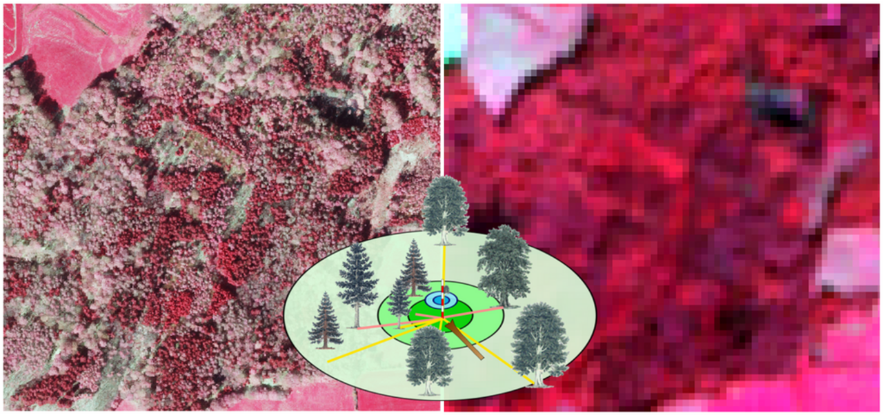
Detailed and spatially explicit information on the state of our forests, including tree species composition, is crucial for forest management and research on forest ecosystems. With changing climate conditions exerting stress on forest ecosystems, such information becomes increasingly relevant for policy decisions and long-term sustainable management recommendations on regional and national levels. For example, tree species distribution maps are needed as input for forest disturbance analysis or for the assessment of the resilience of our forests to climate change.
Approach
The initial project phase is focusing on investigating and implementing approaches to integrate National Forest Inventory data into remote sensing time series analysis. Remote sensing, especially through free data availability of the Sentinel and Landsat programs, is a promising tool to expand information into space and provide spatially explicit and high-resolution species composition estimates.
Furthermore, we will address challenges related to national scale remote sensing analysis such as the increased variation within the remote sensing signal due to large environmental gradients over the area of Germany.
Thünen-Contact

Involved Thünen-Partners
Duration
3.2020 - 12.2023


