

Project
Improving prognosis models in pest control by integrating earth observation data
GeoProg - Improving prognosis models and decision support systems in pest control by integrating high-resolutionearth observation data and AI-optimized methods
Agricultural forecasting models provide information on the risk of pest infestation and support the application of plant protection products. GeoProg aims to optimise established models using satellite data and derived products.
Background and Objective
The German National Action Plan for the Sustainable Use of Plant Protection Products (NAP) and the EU Farm-to-Fork Strategy aim to significantly reduce the risks associated with the use of plant protection products. Forecasting models and decision support systems, which provide important information on the risk of infestation by harmful organisms and corresponding recommendations for action, are indispensable planning tools for achieving these goals.
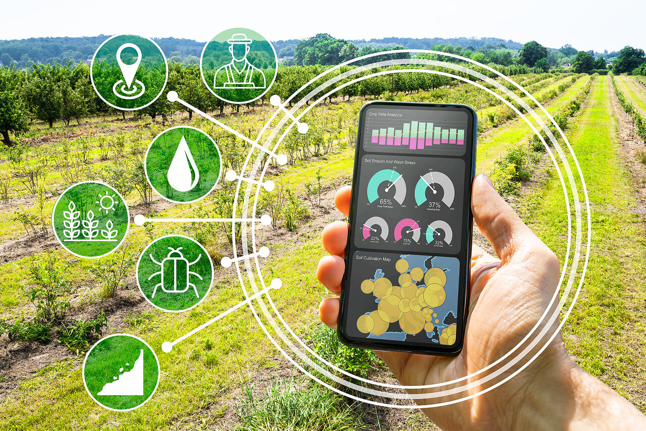
To date, forecasting models and decision support systems are often based on direct user inputs and meteorological input data with a comparably coarse spatial resolution. This limits the ability to assess the risk of infestation for specific fields or on a sub-parcel level and subsequently an informed use of plant protection products. The integration of high-resolution and comprehensive Earth observation data combined with artificial intelligence methods (e.g. for deriving crop types and BBCH stages using self-learning or machine learning methods) has the potential to significantly increase the quality of forecasting models and decision support systems, as well as to optimise general risk assessment.
The challenge lies in identifying suitable satellite data and derived products (e.g. crop classification, terrain models) and adapting their processing in such a way that robust, practical integration into forecasting models and decision support systems is possible in the long term. The GeoProg project takes on this challenge and examines the suitability of various data and derived products for use in selected forecasting models and decision support systems.
Approach
In order to enable the transfer of EO data products and geoinformation technologies into plant protection, the following steps are being taken:
- Research and review of EO data products with regard to their suitability for long-term use in forecasting models and decision support models.
- Establishment of an analysis and test environment for the provision of EO data products and derivation of follow-up products that are incorporated as model parameters in forecasting and decision-making models or in risk maps and biomass models,
- Establishment of a GIS reference database for training and validating EO data products, derivative products, optimised forecasting and decision support models.
- Integration of EO data products and derived products in forecasting and decision support models and the development of an IT infrastructure to ensure the practical and sustainable operation of the PM and EHS.
Data and Methods
In order to ensure sustainable data integration into forecasting models and decision support systems, the data used must meet certain criteria. The data must be available timely and continuously over many years, throughout Germany and in consistently high quality. For field-specific forecasts, it must have a high spatial resolution, and for large-scale risk assessments, a medium spatial resolution. Interfaces to existing agro-meteorological and agricultural information systems must be available for seamless integration, and data processing must also comply with data protection, data use and licensing requirements.
Current satellite data and products derived from it can be divided into five categories:
- Land use (e.g. crop rotation and planting density)
- Environmental data (e.g. soil moisture and leaf wetness duration)
- Plant growth (e.g. biomass and BBCH stages)
- Topography (e.g. slope and exposure)
- Edge structures (e.g. shading and overwintering habitats).
These EO products can directly replace less accurate model parameters in existing PM and EHS or be incorporated into risk maps and biomass models.
Our Research Questions
Which satellite data and derived products are suitable for integration into forecasting models and decision support models?
Can existing products be optimised through adapted class catalogues and the use of AI?
Links and Downloads
Webpage of project coordination at ZEPP:
Thünen-Contact

Involved Thünen-Partners
Involved external Thünen-Partners
- Julius Kühn-Institut - Bundesforschungsinstitut für Kulturpflanzen (JKI)
(Quedlinburg, Braunschweig, Groß Lüsewitz, Kleinmachnow, Deutschland) - Helmholtz-Zentrum Potsdam Deutsches Geoforschungszentrum
(Potsdam, Deutschland) - Zentralstelle der Länder für EDV-gestützte Entscheidungshilfen und Programme im Pflanzenschutz (ZEPP)
(Bad Kreuznach, Deutschland) - Informationssystem Integrierte Pflanzenproduktion e.V. (ISIP)
(Bad Kreuznach, Deutschland) - heliopas.ai GmbH
(Karlsruhe, Deutschland)
Funding Body
-
Federal Ministry of Agriculture, Food and Regional Identity (BMLEH)
(national, öffentlich)
Duration
7.2024 - 6.2027
More Information
Project funding number: 50EE2234B
Funding program: Innovationsförderung
Project status:
ongoing


