Project
Valorisation and Integration of Data for Agricultural Landscapes, Environment and Agricultural Policy
Valorisation and Integration of Data for Agricultural Landscapes, Environment and Agricultural Policy
The sustainable transformation of agriculture requires reliable data, networked analyses, and transparent decision-making bases. In times of biodiversity loss, climate change, and increasing demands on resource conservation, there is a growing need for integrated information systems that consider ecological, climatic, and agricultural structural aspects together. This is where the VIDALEAP project comes in.
Background and Objective
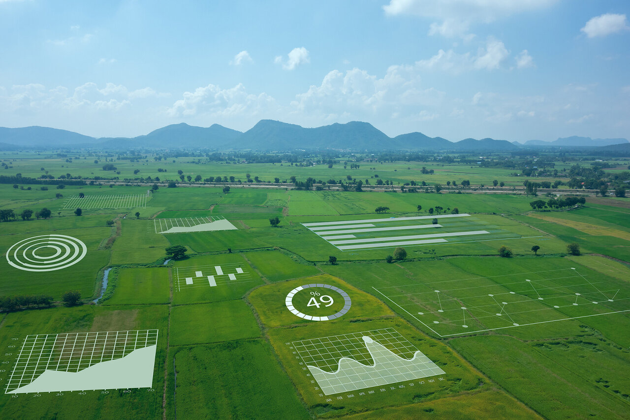
The VIDALEAP project focuses on the collection, harmonization, and utilization of agricultural and environmental data to support evidence-based policy-making and sustainable management in agricultural landscapes in Germany. The aim of the project is to create new methodological, technical, and data foundations for the integrated assessment and evaluation of agricultural landscapes in Germany. To this end, a wide range of data sources – from remote sensing and weather data to administrative data and biodiversity observations – are being brought together, harmonized, and converted into innovative indicators. These serve to assess land use intensity, biodiversity, emissions, and climate risks, and provide a data-based foundation for integrated environmental, climate, and agricultural policy.
A key objective of VIDALEAP is to consolidate and harmonize data in order to better analyze and illustrate the links between agricultural practices and environmental impacts, such as how land use intensity affects biodiversity or nutrient flows. At the same time, data products will be created that can be used in political decision-making processes, for example in the evaluation of agricultural policy measures or the development of climate-resilient cultivation strategies. With the design of a research data center, VIDALEAP is beginning to establish long-term structures for the shared use of administrative agricultural data. In this way, the project is making an important contribution to the data-based management of agricultural and environmental policy in Germany – scientifically sound, practical, and forward-looking.
Approach
VIDALEAP consists of three modules that address key issues and challenges in the sustainable transformation of agriculture. The focus is on improving the data basis for monitoring and evaluation in the areas of biodiversity, fertilization, and climate resilience.
Data and Methods
Module 1: MonBioLa – Monitoring biodiversity and sustainable land use in agricultural landscapes
MonBioLa builds on the work of the Thünen Institute in the MonViA project and further develops biodiversity indicators for habitat diversity. The focus is on developing data-based solutions for comprehensive indicators of habitat diversity (composite indicators) and integrating heterogeneous data sources (national/regional agricultural statistics, Earth observation, field studies, spatial information on agricultural land use, agri-environmental measures from IACS data) for a spatially, temporally, and semantically consistent comprehensive picture of agricultural land use and its changes. Based on the composite indicators, the relationships between habitat diversity and the status and changes in organismic biodiversity (e.g., farmland birds) are examined on different spatial and temporal scales.
Module 2: MonWiD – Monitoring the impact of the Fertilizer Ordinance
MonWiD is closely linked to the Thünen projects RELAS, RELAS II, and INDUS, which identify various spatial indicators of agricultural production that can be used to assess the impact of the Fertilizer Ordinance on water quality. Similar to MonBioLa, data of varying resolution and origin – for example, from agricultural administration or agricultural statistics – are integrated for this purpose and fed into relevant models and algorithms. The set of indicators then makes it possible to jointly consider the spatial-temporal change in, for example, nutrient balances or soil cover and to relate it to possible determinants of this development. The work lays the foundation for evaluating the effectiveness of water protection instruments at an early stage.
Module 3: MonOKlim – Monitoring and optimization of crop structures in the context of climate change
MonOKlim builds on the work of the Thünen Institute within the ModOKlim project and aims to further develop the concept of optimized crop portfolios to improve resilience to extreme weather events. To this end, statistical methods are used to map the relationships between weather events, yields, and climate impacts. Based on agricultural farm models, optimal crop portfolios for different locations and farm types are then derived under different climate scenarios.
In all modules, selected indicators and the underlying algorithms are documented and processed in such a way that they can be made available to the (specialist) public in the form of data and code publications, in accordance with the principles of open science and FAIR data, while complying with data protection regulations.
Thünen-Contact

Involved Thünen-Partners
- Ackermann, AndreaLV Institute of Rural Studies
- Bae, SoyeonBW Institute of Farm Economics
- Bajracharya, RajinaLV Institute of Rural Studies
- Bhagwat, TejasBD Institute of Biodiversity
- Heydarli, MasudBW Institute of Farm Economics
- Klimek, SebastianBD Institute of Biodiversity
- Levers, ChristianBD Institute of Biodiversity
- Offermann, FrankBW Institute of Farm Economics
- Ogan, SophieKB Coordination Unit Climate, Soil, Biodiversity
- Röder, NorbertLV Institute of Rural Studies
- Schütze, BeritLV Institute of Rural Studies
- Schwieder, MarcelBW Institute of Farm Economics
- Traylor, WolfgangLV Institute of Rural Studies
- Zinnbauer, MaximilianLV Institute of Rural Studies
Funding Body
-
European Union (EU)
(international, öffentlich)
Duration
10.2025 - 6.2027
More Information
Project status:
ongoing


