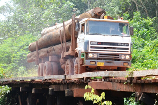
Designing and implementing efficient environmental protection programs requires reliable information on forest cover and forest condition. However, obtaining accurate forest maps is particularly challenging in tropical landscapes. This study uses up-to-date remote sensing techniques and a large set of ground verification data obtained across the tropics between 2016 and 2019, in order to produce high-resolution forest maps (30m pixels) covering a total area of approximately 15 million hectares. The study presents a gradient of deforestation contexts to analyze the quality of the produced maps and seven secondary sources, including land cover maps for international reporting and commonly used global forest datasets (e.g. Global Forest Change).
The generated maps show a similar overall accuracy (92%) than the maps of the national agencies and use a standardized classification method for all countries. The authors reveal general overestimations of forest cover in the studied regions by the global maps, together with recurrent classification errors in regions at more advanced stages of deforestation or early reforestation. This affects areas characterized by young regrowth forests, agroforestry, palms, perennial crops and other types of mixed vegetation. The study emphasizes the importance of ground verification as accompanying tool in order to monitor tropical forests accurately, which is particularly relevant in areas hosting current forest restoration or reforestation programs.
- Ferrer Velasco R, Lippe M, Tamayo F, Mfuni T, Sales-Come R, Mangabat C, Schneider T, Günter S (2022) Towards accurate mapping of forest in tropical landscapes: A comparison of datasets on how forest transition matters. Remote Sensing of Environment 274, 112997. DOI:10.1016/j.rse.2022.112997


