![[Translate to English:]](/media/_processed_/6/4/csm_titel_CO2Kampagne8_afeea2273e.png "[Translate to English:]")
![[Translate to English:]](/media/_processed_/4/1/csm_titel_93px_CO2Kampagne8_9b0f3354d4.png "[Translate to English:]")
Project
Monitoring groundwater levels in peatlands with radar data
Development of a method to derive groundwater levels in organic soils in Germany from Sentinel radar data
Greenhouse gas emissions from organic soils are strongly influenced by the groundwater level. Deriving groundwater levels from remote sensing data could strongly improve the spatial and temporal resolution of greenhouse gas emission estimates.
Background and Objective
In Germany, drained organic soils emit large amounts of carbon dioxide (CO2) and contribute around 40 % to the greenhouse gas emissions from the sectors agriculture and land use, land use change and forestry (LULUCF). Re-wetted, especially flooded, peatlands may show large methane (CH4) emissions. Groundwater level and soil moisture are crucial drivers for both CO2 and CH4 emissions.
Since the microwave backscatter coefficient (s0) is sensitive to soil moisture, the application of remotely sensed radar data might support the monitoring of these climate-relevant soils by detecting spatial and temporal changes in soil moisture and water management. In this project, we tested the applicability of Sentinel-1 C-band radar data for the determination of groundwater levels at grassland sites.
Approach
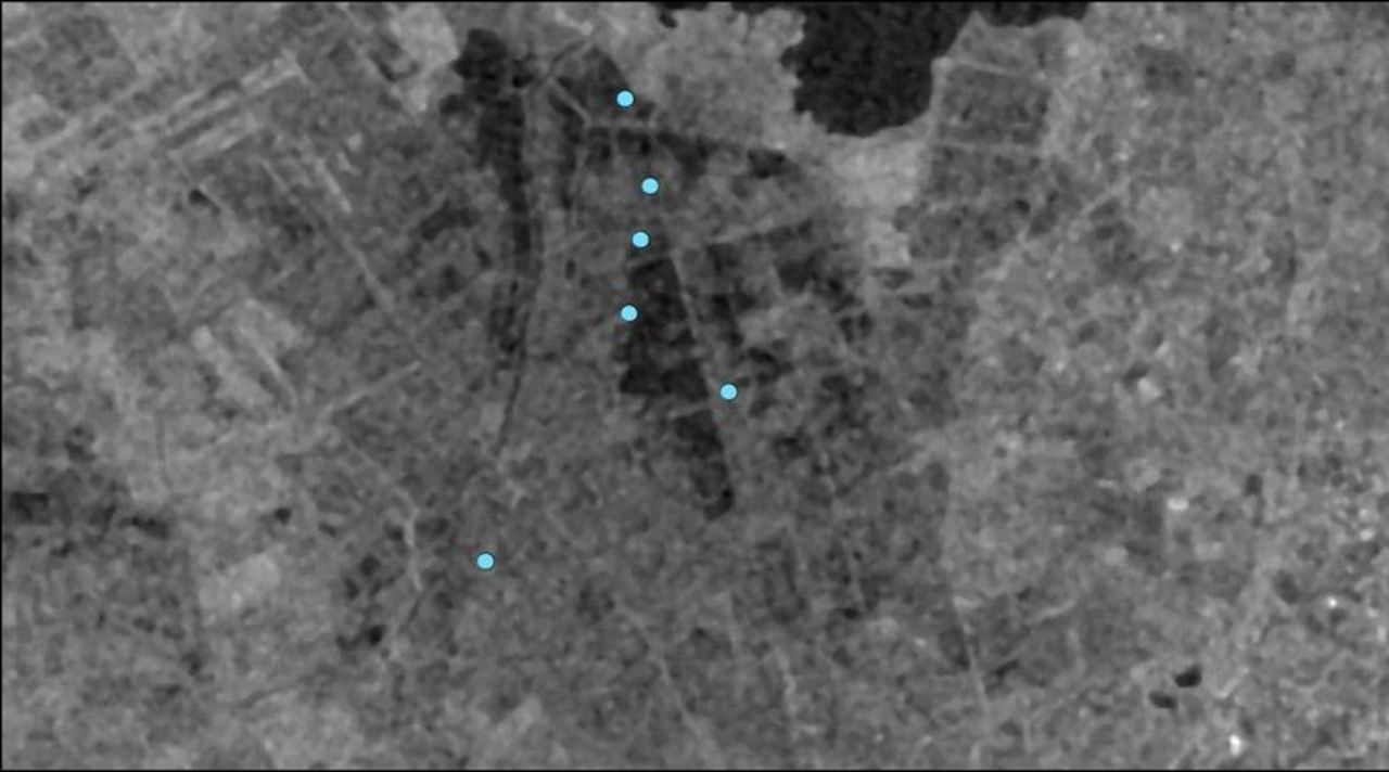
We used data from the Drömling area (Saxony-Anhalt) to evaluate the correlation between the radar signal (“backscatter”) and groundwater levels. The study area was chosen because it is data-rich, i.e., the water table depth has been monitored at about 100 monitoring wells. Furthermore, we focused our analysis on grassland because this is the major land use type for both the Drömling and organic soils in Germany in general. We evaluated temporal Spearman correlation coefficients between the backscatter coefficient s0 and water table depth considering the soil and vegetation information. To account for the effects of seasonal vegetation changes, we used the cross-over (incidence) angle method.
Results
Despite the low penetration depth of the C-band, backscatter coefficient (s0) is influenced by shallow WTD fluctuations via the soil hydraulic connection between the water table and surface soil. Climatologies of the slope of the incidence angle dependency derived from two years of Sentinel-1 data and their application to the cross-over angle method did improve correlations, though the effect was minor. Overall, averaged over all sites, a temporal Spearman correlation coefficient of 0.45 (± 0.17) was obtained. The loss of correlation during summer (higher vegetation, deeper WTD) and the effects of cuts and grazing are discussed. The site-specific general wetness level, described by the mean WTD of each site was shown to be a major factor controlling the strength of the correlation. Mean WTD deeper than about -0.60 m lowered the correlations across sites, which might indicate an important limit of the application.
Details can be found in the following publication: Asmuß et al. (2019)
Thünen-Contact

Involved Thünen-Partners
Duration
8.2017 - 7.2019
More Information
Project status:
finished
Publications
- 0
Asmuß T, Bechtold M, Tiemeyer B (2019) On the potential of Sentinel-1 for high resolution monitoring of water table dynamics in grasslands on organic soils. Remote Sensing 11(14):1659, DOI:10.3390/rs11141659