![[Translate to English:]](/media/_processed_/6/4/csm_titel_CO2Kampagne8_afeea2273e.png "[Translate to English:]")
![[Translate to English:]](/media/_processed_/4/1/csm_titel_93px_CO2Kampagne8_9b0f3354d4.png "[Translate to English:]")
Project
Application of the EO-LDAS Prototype
Application of the EO-LDAS Prototype and Data Base to Prepare Sentinel-2 Assimilation
The application of the EO-LDAS-prototype, a data assimilation scheme of Sentinel-2 satellite data, aims at improving the monitoring of the vegetated land surface with satellite observations. EO-LDAS is an acronym for Earth Observation - Land Data Assimilation System.
Background and Objective
The basic approach is to combine satellite data with different ground measurements via a modeling system in such a way that it can be used for calculating the regional budgets of green house gases.
Approach
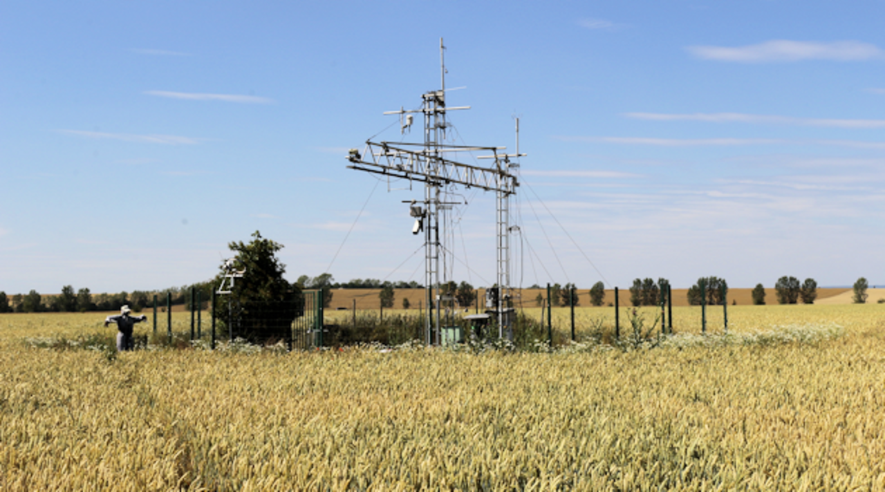
In this project, the EO-LDAS-prototype data is used for the first time in a practical application at the Gebesee agricultural site (ICOS-D). The multi-year campaigns of vegetation parameters and the continuous eddy covariance flux measurements (CO2, H2O) allow to evaluate the EO-LDAS-prototype as well as to develop and calibrate the modeling system.
The project EO-LDAS is led by the department of Earth Observation (Friedrich-Schiller University Jena).
Results
The Thünen work package was about linking the different data and information levels. In preparation for this, vegetation and soil parameters, among others, were recorded during the field campaigns 2013 and 2014 in the source area of the EC measurements. In these years, the EC measurements and the derived EO-LDAS parameters from satellite observations were collected in parallel. In 2013, the field on which the Eddy Tower is located was planted with two crop types, so that the CO2 exchange fluxes could not be clearly assigned to a specific crop. From autumn 2013, the field was cultivated again as a whole with winter wheat being sown. The uptake of CO2 by winter wheat until harvest is significantly higher on the nutrient-rich black soil (middle area) than on the poorer, clay-rich soil (lower area) - despite the same meteorological conditions at the locations.
Such a differentiated, field-specific balancing of the net carbon flows was only possible through the intersection of the spatial vegetation parameters from the EO-LDAS app with the selective CO2 flows from EC measurements and the meteorological control variables, including the management data. The modeling concept was thus successfully applied in this pilot study and can help improve CO2 monitoring for agricultural ecosystems.
Links and Downloads
")

Involved external Thünen-Partners
-
Friedrich-Schiller-Universität Jena
(Jena, Deutschland)
Funding Body
-
Federal Ministry for Economic Affairs and Energy (BMWi)
(national, öffentlich)
Duration
6.2013 - 6.2017
More Information
Project status:
finished