![[Translate to English:]](/media/_processed_/7/1/csm_IMG_7977_large_1defaf5de1.jpg "[Translate to English:]")
Project
Maritime Spatial Planning, Marine Strategy Framework Directive and biodiversity of North Sea fish
A link between the Marine Strategy Framework Directive and Maritime Spatial Planning: spatio-temporal modelling of pressure-state relationships for spatial management in the southern North Sea
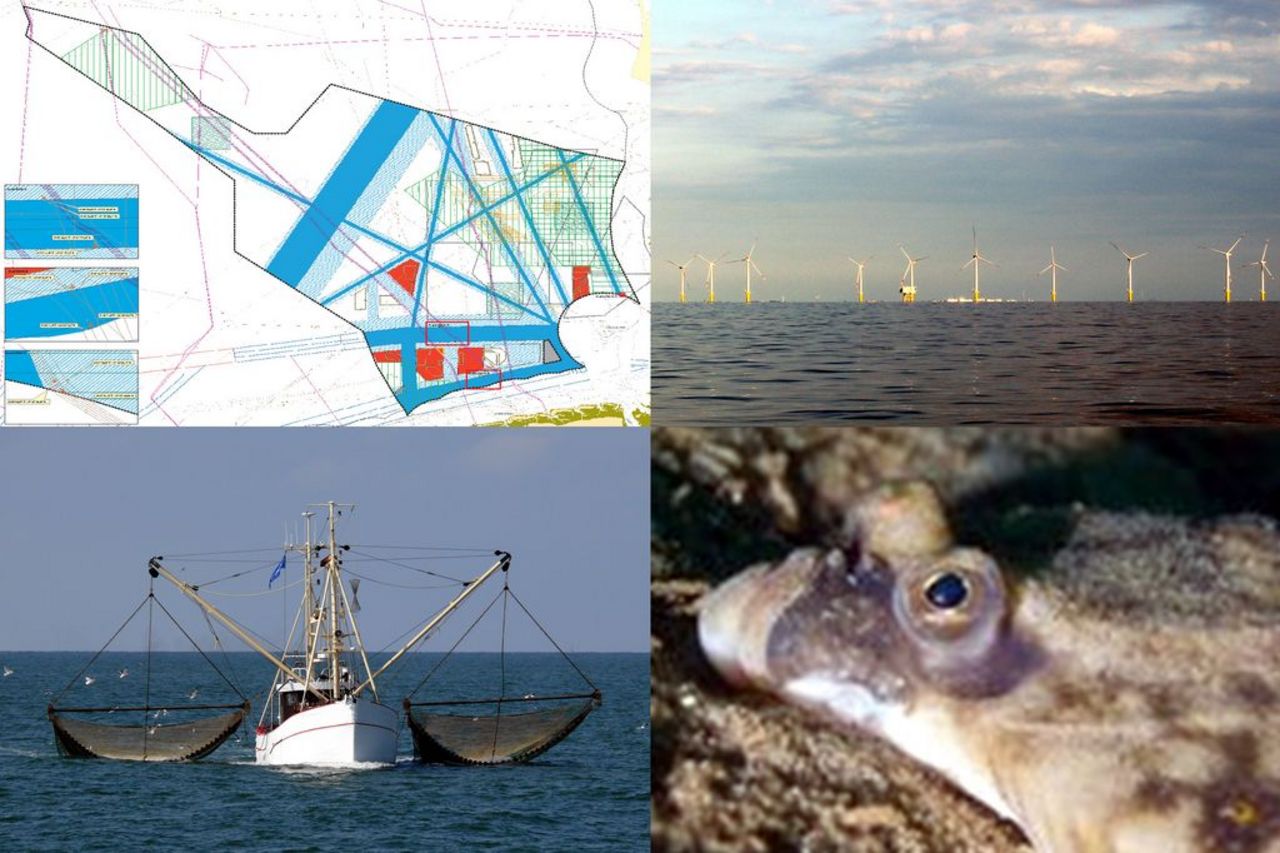
Human activities in the North Sea increase. Spatial management measures that link (sustainable) use with the achievement of good environmental status are therefore needed. In this PhD project, we investigate the effects of human activities, especially that of fishing and offshore wind farms, on the spatio-temporal distribution of the demersal fish biodiversity to provide decision support through spatial management scenarios.
Background and Objective
The EU legislation on Maritime Spatial Planning and the Marine Strategy Framework Directive (MSFD) pursue fundamentally different priorities, "Blue Growth" on the one hand and environmental protection on the other. Both, however, attempt to reach that goal through sustainable use and ecosystem-based management, so that marine biodiversity among other components is not jeopardised. Effective planning requires spatial information on the impact of the maritime spatial plan that arises inter alia through the construction of offshore wind farms. However, tested and operationalised indicators that measure the effects of human activities on the biodiversity of demersal fish - not only temporally but also spatially - are currently lacking. At the same time, (spatial) management measures need to be implemented under the MSFD to protect the ecosystem and that need to be brought into line with the plan. The aim of the project is thus to bridge maritime spatial planning and MSFD through spatial modelling and analysis of pressure-state relationships to develop spatial management scenarios. This could ultimately serve as decision guidance for the planning process, for example, at the national level. As a first step, this is tested in a case study of German North Sea waters.
Target Group
Policy and decision makers; marine scientists; interested public
Approach
- Review of the MSFD and the German maritime spatial plan
- Spatio-temporal modelling of appropriate biodiversity indicators and human uses
- Testing of the technical aspects of various modeling approaches
- Testing of pressure-state relationships
- Development of management scenarios via probabilistic conceptual and spatial models
Data and Methods
- Data: TI survey data (including German Autumn Survey in the Exclusive Economic Zone, GASEEZ), data from the accompanying ecological investigations of offshore wind farms (provided by the BSH), temperature, salinity, habitat and sediment structure, VMS data from various fleets
- Methods: Analysis and comparison of different biodiversity indicators, spatial modelling using regression analysis and geostatistical approaches (e.g. Kriging, Generalised Additive Models) in R and ArcGIS; Management scenarios based on conceptual models (e.g. DPSIR + bow-tie diagrams) and quantitative, probabilistic models (Bayesian Belief Networks) in combination with GIS
Our Research Questions
- Which thematic overlaps exist between the MSFD and maritime spatial planning?
- How can biodiversity indicators be operationalised in space and time?
- Can pressure -state relationships of relevant MSFD indicators be presented spatially and what other indicators or indices can be developed to show the impact of human uses, e.g. fishing pressure?
- What are the impacts of redistribution of fishing pressure on fish biodiversity as a result of the expansion of offshore wind farms, specifically, what does the regulation under the Maritime Spatial Plan mean for the achievement of Good Environmental Status?
- Can we derive spatial management measures from this and test existing measures?
Involved Thünen-Partners
Involved external Thünen-Partners
-
Universität Hamburg
(Hamburg, Deutschland)
Funding Body
-
German Federal Environmental Foundation (DBU)
(national, öffentlich)
Duration
9.2013 - 4.2017
More Information
Project status:
finished