![[Translate to English:]](/media/_processed_/6/4/csm_titel_CO2Kampagne8_afeea2273e.png "[Translate to English:]")
![[Translate to English:]](/media/_processed_/4/1/csm_titel_93px_CO2Kampagne8_9b0f3354d4.png "[Translate to English:]")
Project
Soil data regionalisation
Regionalisation of agricultural soil data in Germany (SoilSpace3D-DE)
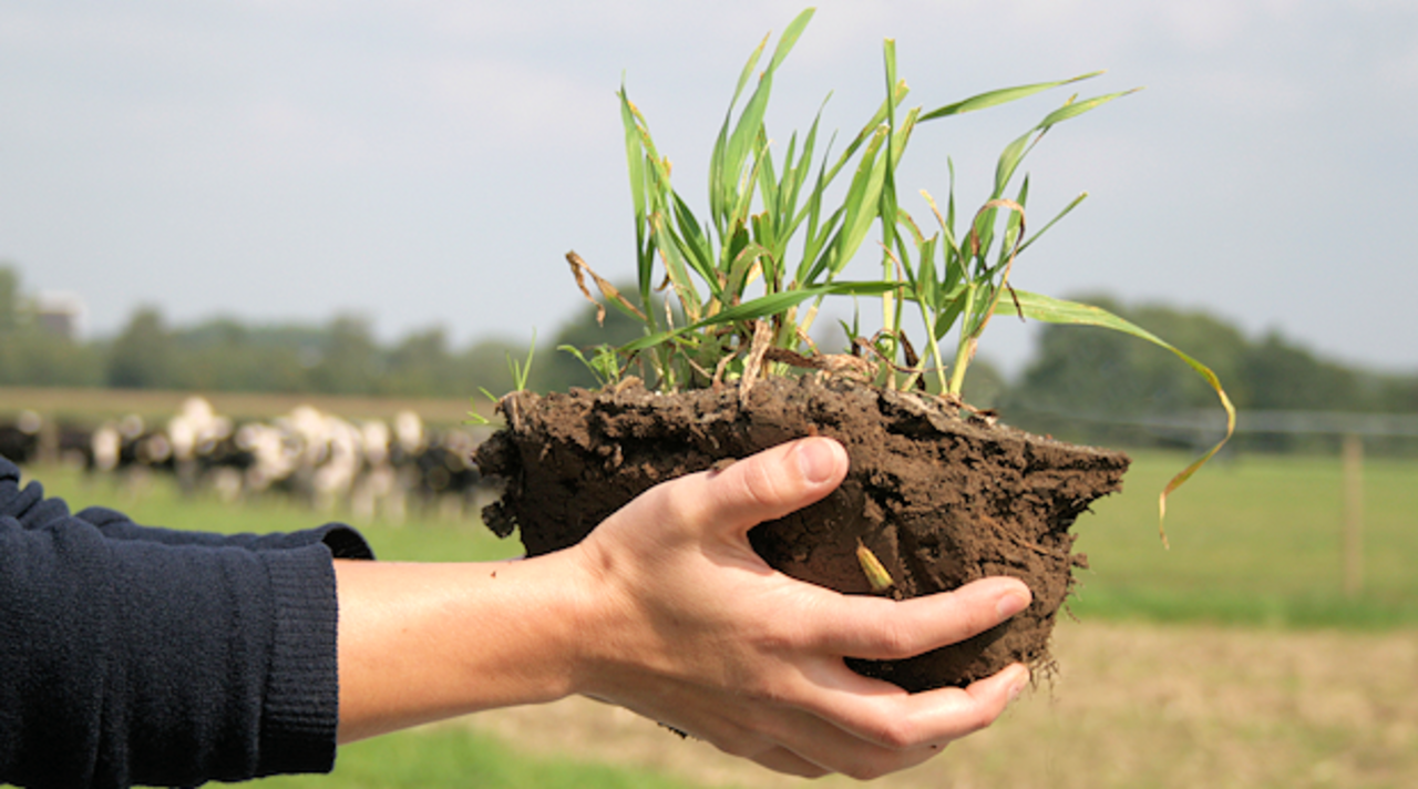
With the German Agricultural Soil Inventory a unique, national consistent dataset has been generated that allows to derived new and better spatial soil information. Such spatial soil data, e.g. on soil texture or soil carbon are fundamental drivers for soil process models at regional to national scale-
Background and Objective
Soil maps are at maximum as good as the data which are the base for the development of these maps. The dataset of the German Soil Inventory Agriculture was collected at the Thünen Institute and is a new dataset with high quality. This dataset will be used together with the Helmholtz Institute of Environmental Research (UFZ) in Halle/Germany to model and regionalize them with the aim to develop German wide high resolution soil information maps in 2D and 3D.
Approach
Different data streams will be combined and with the help of digital soil mapping methods transformed into spatial soil data with high resolution. A particular focus is the merging of remote sensing data from satellites with soil data from the German Soil Inventory Agriculture and the European soil inventory LUCAS.
Thünen-Contact

Involved Thünen-Partners
Duration
1.2018 - 12.2022
More Information
Project status:
finished