
Thünen Geo Information

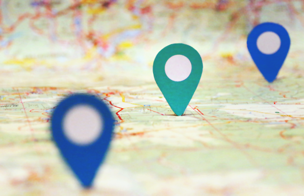
At the Thünen-Institute spatial data on fields, forests and seas are collected and evaluated - often across Germany or beyond. These data make it possible to use maps to represent the ecological natural forest areas of Germany or to show how land use and livestock at the district level changed from 1999 to 2010. Even more: By overlaying and combining very different data sets, it becomes possible to recognize and evaluate certain relationships in order to be able to derive conclusions and see need for action.

In order to make these relationships visible for different user groups, the Thünen-wide working group Thünen Geoinformation aims to keep spatial data at a high level of quality across the institute and discusses new approaches to internal and external handling of them.

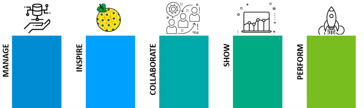
The following topics are dealt with within the group:

Optimize the shared data storage across institutes to make use of synergies.

Specialized in the internal research data management of spatial data, the Thünen-Institute Spatial Data Repository (TISDAR) is used. The portal enables the scientists at the Thünen Institute to search, download or store and describe research data and their documentation via a simple web interface. The technical description of the platform is published here.

Describe and publish the data of the Thünen-Institute in accordance with the INSPIRE directive.

For data records that fall under the European INSPIRE directive, harmonized services are offered via the INSPIRE node. These services correspond to the INSPIRE schemes and thus enable cross-border cooperation and evaluations.

Creation or improvement of a cross-institute collaboration platform and further training on cross-sectional key issues.

Previous results of this task are the R-course (license CC BY-SA) held at the Thünen-Institute and the architecture concept TELLOW with JupyterHub as a shared development environment.

Present existing spatial data to the public.

The Thünen Atlas is used as an open data exploration platform. Here spatial data are prepared for everyone and made available as layers and summarized map sets.

Expand analysis infrastructure and options.

In order to be able to evaluate the sometimes massive amounts of data timely, the data analysis platform TIDAS was designed. In the future, this will be hosted via the high-performance cluster of the Centre for Information Management and made available to researchers at the Thünen-Institute.

Contact

Florian Hoedt is responsible for the planning and implementation of these components in collaboration with the Thünen Geoinformation working group. The Centre for Information Management is organisationally responsible for the infrastructures, which Florian Hoedt is a part of.

M.Sc. Florian Hoedt
Phone
+49 531 596 1428
florian.hoedt@thuenen.de
Centre for Information Technology
Scroll to top