Project
NOAH1: North Sea - Observation and Assessment of Habitats
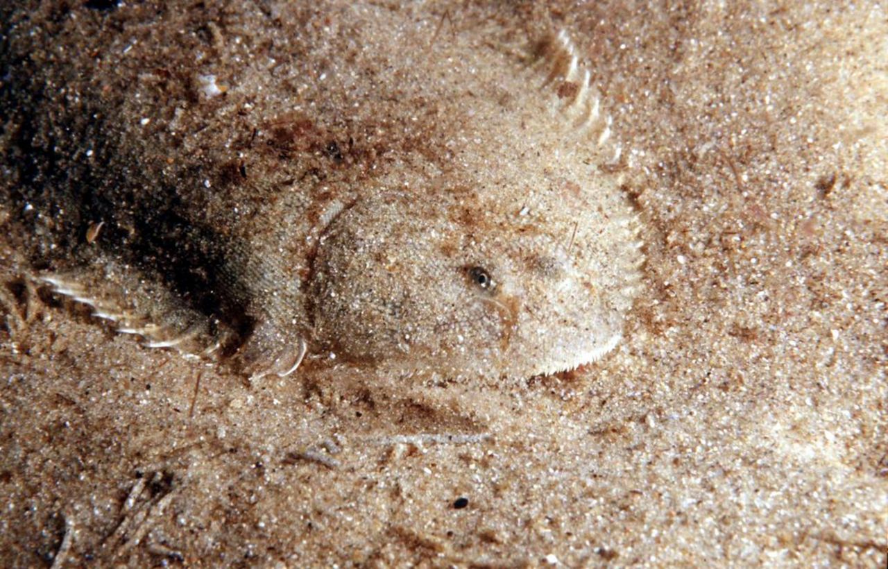
The importance of the seafloor for a healthy ecosystem: Evaluation of pressures, state and services of benthic ecosystems in the German Bight of the North Sea.
Background and Objective
NOAH will develop a comprehensive geo-referenced inventory of seafloor properties in the German Bight of the North Sea in terms of an interactive habitat atlas. For this the project will
- compile and analyse existing data with respect to physical, sedimentological, biogeochemical and biological properties and human pressures,
- collect new data on biological processes targeting representative seafloor domains, and
- use numerical models to spatially and temporally inter- and extrapolate key processes, functions and services.
The compiled and processed data will be the basis for the description of the ecosystem state and its spatial-temporal variability. Further, robust and operational indicators for ecosystem state will be identified and tested. Risks to ecosystem state and services under different future climate and marine spatial management scenarios will be evaluated. The project NOAH will therefore provide a comprehensive evaluation of the ecological status of the German Bight serving scientific and political requirements, such as the European Marine Strategy Framework Directive.
Target Group
Politicians; Oceanographers; the Public
")
")
")
")
Approach
The project is structured into four workpackages:
- Data collection and habitat mapping;
- Observation of benthic processes and habitats;
- Integrated Modelling;
- Evaluation of ecosystem status, risks and values.
The Thünen Institute is responsible for workpackage 4, focussing on three different aspects: First, the identification of operational indicators and the evaluation of ecosystem state, second the probabilistic risk assessment of management scenarios to define levels of sustainable use, and third the development of a framework for the valuation of benthic ecosystem services. Further, the Thünen Institute contributes to WP1 to describing the distribution of benthic fish communities and bottom-trawl fishing effort, as well as to WP3 in order to develop a benthic food-web model (ECOPATH/ECOSIM) for the German EEZ of the North Sea.
Our Research Questions
- What is the ecological state of the seafloor in the German Bight (North Sea)?
- What are the main pressures and the respective influences?
Results
The core achievement of NOAH is the interactive habitat atlas that represents a comprehensive geo-referenced inventory of seafloor properties. The Thünen-Institute contributed amongst other things data and maps of the international fishing effort distribution in the German Bight. These data were used to investigate the local impact of trawling on benthic organisms. At present we cannot detect a statistically significant influence of fishing pressure on benthic communities. One reason for this is the strong spatial correlation between environmental parameters (like sheer stress) and fishing effort, as well as potential adaptations of the communities to chronic pressures. It would be however a false conclusion to assume that the additional source of mortality due to fishing is marginal.
The Thünen Institute additionally identified and evaluated indicators in order to describe the status of the seafloor. We showed that indicators, which can be directly measured (like fishing effort distribution, species abundances) can become rather operational than e.g. diversity indicators. In the context of the Marine Strategy Framework Directive (MSFD) it has been not yet defined how the state of an ecosystem can be assessed by multiple indicators. Here the project developed various approaches (Probst & Stelzenmüller, 2015; Fock & Kraus, 2016).
Further a concept to model management scenarios with the help of probabilistic networks, so-called Bayesian Belief Networks, was developed. We parameterised a model for the Disturbance Indicator DI (see figure), which estimates the relative disturbance of a benthic community in relation to fishing pressure due to bottom trawling. With the model we could investigate the influence of area closures (e.g. due to wind farm developments) and of the corresponding spatial displacement of fishing effort on benthic ecosystems (Stelzenmüller et al., 2015).
The final report with detailed results is available as download. NOAH will continue its work in a second phase (NOAH2). There the Thünen Institute will focus on ecosystem based risk-assessment and risk management of pressures to seafloor integrity.
")
Links and Downloads
Involved Thünen-Partners
- Diekmann, RabeaFI Institute of Fisheries Ecology
- Döring, RalfSF Institute of Sea Fisheries
- Fock, Heino SF Institute of Sea Fisheries
- Kraus, GerdSF Institute of Sea Fisheries
- Kraus, GerdSF Institute of Sea Fisheries
- Probst, WolfgangSF Institute of Sea Fisheries
- Stelzenmüller, VanessaSF Institute of Sea Fisheries
Involved external Thünen-Partners
-
Helmholtz-Zentrum Geesthacht
(Geesthacht, Deutschland) -
Universität Hamburg
(Hamburg, Deutschland) -
Senckenberg Gesellschaft für Naturforschung
(Frankfurt, Wilhelmshaven, Görlitz, Deutschland) - Alfred Wegener Institut - Helmholtz -Zentrum für Polar und Meeresforschung
(Bremerhaven, Deutschland) -
Universität Bremen
(Bremen, Deutschland) -
Bundesamt für Seeschifffahrt und Hydrographie
(Hamburg, Deutschland) - Hochschule für Angewandte Wissenschaften Hamburg (HAW)
(Hamburg, Deutschland)
Funding Body
-
Federal Ministry of Education and Research (BMBF)
(national, öffentlich)
Duration
4.2013 - 3.2016
More Information
Project status:
finished
Publications
- 0
Stelzenmüller V, Diekmann R, Bastardie F, Schulze T, Berkenhagen J, Kloppmann MHF, Krause G, Pogoda B, Buck BH, Kraus G (2016) Co-location of passive gear fisheries in offshore wind farms in the German EEZ of the North Sea: a first socio-economic scoping. J Environ Manag 183(3):794-805, DOI:10.1016/j.jenvman.2016.08.027
- 1
Fock HO, Kraus G (2016) From metaphors to formalism: a heuristic approach to holistic assessments of ecosystem health. PLoS One 11(8):e0159481, DOI:10.1371/journal.pone.0159481
- 2
Neumann H, Diekmann R, Kröncke I (2016) Functional composition of epifauna in the south-eastern North Sea in relation to habitat characteristics and fishing effort. Estuar Coast Shelf Sci 169:182-194, DOI:10.1016/j.ecss.2015.12.011
- 3
Probst WN, Stelzenmüller V (2015) A benchmarking and assessment framework to operationalise ecological indicators based on time series analysis. Ecol Indic 55:94-106, DOI:10.1016/j.ecolind.2015.02.035
- 4
Stelzenmüller V, Fock HO, Gimpel A, Rambo H, Diekmann R, Probst WN, Callies U, Bockelmann F, Neumann H, Kröncke I (2015) Quantitative environmental risk assessments in the context of marine spatial management: current approaches and some perspectives. ICES J Mar Sci 72(3):1022-1042, DOI:10.1093/icesjms/fsu206
- 5
Emeis KC, Beusekom J van, Callies U, Ebinghaus R, Kannen A, Kraus G, Kröncke I, Lenhart H, Lorkowski I, Matthias V, Möllmann C, Pätsch J, Scharfe M, Thomas H, Weisse R, Zorita E (2015) The North Sea - a shelf sea in the Anthropocene. J Mar Syst 141:18-33, DOI:10.1016/j.jmarsys.2014.03.012
- 6
Probst WN, Rau A, Diekmann R, Dorrien C von, Seidel H, Fock HO, Kraus G, Stelzenmüller V (2014) Eine Thünen-Evaluierung von fisch- und fischereibezogenen Indikatoren der EU Meeresstrategie-Rahmenrichtlinie (MSRL). Hamburg: Johann Heinrich von Thünen-Institut, 106 p, Thünen Working Paper 25, DOI:10.3220/WP_25_2014
https://literatur.thuenen.de/digbib_extern/bitv/dn053653.pdf