Project
NOAH2: North Sea - Observation and Assessment of Habitats
What is the ecological state of the seafloor in the German EEZ of the North Sea?
Information about sedimentology, geochemistry, biology and anthropogenic pressures is compiled and used for developing a concept for ecosystem-based risk assessment.
Background and Objective
NOAH2 represents the synthesis phase of a science project of the same name (NOAH1). It continues the first phase by complementing the habitat atlas, a comprehensive geo-referenced inventory of seafloor properties in the German Bight of the North Sea. The habitat atlas compiles experimental, field and model data about physical, chemical and biological seafloor properties as well as about relevant human pressures. These data will form the basis for testing a conceptual framework for an ecosystem-based risk assessment and management in the North Sea EEZ. NOAH2 will thus contribute to a comprehensive evaluation of the ecological status of the German Bight and develops methods for a scientifically founded management of the seafloor serving the European Marine Strategy Framework Directive.
The framework will consist of a two-step risk assessment and management approach, with a qualitative Bow-tie analysis to illustrate management options, and quantitative Bayesian Network Models for an effective risk evaluation of different management scenarios. The approach will be cross-sectoral and will address aspects of nature protection, offshore wind farm development, and changing fishing intensities in space and time.
Target Group
Politicians; Oceanographers; the Public
Approach
The project is structured into four workpackages:
- Habitat characteristics and habitat atlas,
- Inter- and extrapolation of physical and biogeochemical processes and pollution,
- Integrative modelling,
- Risk assessment and management
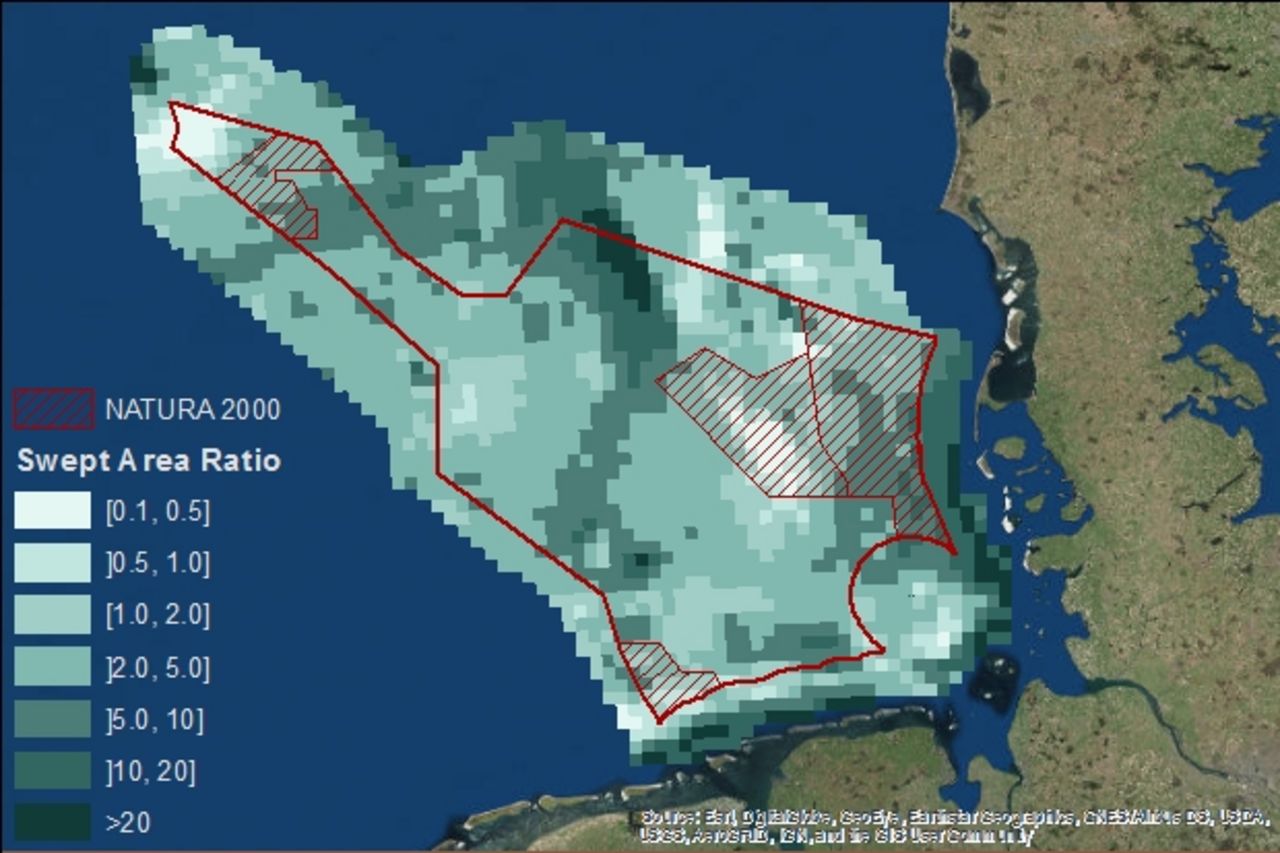
The Thünen Institute is responsible for workpackage 4, which aims at developing an operational framework for an ecosystem-based risk assessment and risk management of pressures to seafloor integrity. Fisheries data, representing the most important pressure to the seafloor, will be analysed and high-resolution maps will be produced. We will follow a two-step approach to identify and quantify risks: First the well-established Bow-Tie analysis will be applied, which in a second step will be populated with qualitative and quantitative information from the project and where necessary complemented by expert knowledge using Bayesian Network Modelling.
Data and Methods
The Thünen Institute analyses fisheries data to quantify pressures to seafloor integrity. For this data from the Vessel Monitoring System (VMS), and information from logbooks as well as from the European Fleet Register will be used. As assessment and decision support tools we will apply bow-tie as well as Bayesian Belief Network models. The latter quantify parts of the bow-tie pressure-state-impact (PSI) pathways and enable management relevant scenario analyses.
Our Research Questions
What is the ecological state of the seafloor in the German Bight (North Sea)?
What is the impact of anthropogenic pressures and how can they be regulated in order to achieve a good environmental status?
Results
The habitat atlas developed in NOAH1 is already available and will be complemented during the second phase
Links and Downloads
Involved Thünen-Partners
- Diekmann, RabeaFI Institute of Fisheries Ecology
- Fock, Heino SF Institute of Sea Fisheries
- Kraus, GerdSF Institute of Sea Fisheries
- Kraus, GerdSF Institute of Sea Fisheries
- Probst, WolfgangSF Institute of Sea Fisheries
- Schneider, MatthiasSF Institute of Sea Fisheries
- Stelzenmüller, VanessaSF Institute of Sea Fisheries
Involved external Thünen-Partners
-
Bundesamt für Seeschifffahrt und Hydrographie
(Hamburg, Deutschland) - Hochschule für Angewandte Wissenschaften Hamburg (HAW)
(Hamburg, Deutschland) -
Helmholtz-Zentrum Geesthacht
(Geesthacht, Deutschland) -
Universität Bremen
(Bremen, Deutschland) -
Senckenberg Gesellschaft für Naturforschung
(Frankfurt, Wilhelmshaven, Görlitz, Deutschland) -
Universität Hamburg
(Hamburg, Deutschland)
Funding Body
-
Federal Ministry of Education and Research (BMBF)
(national, öffentlich)
Duration
4.2016 - 3.2019
More Information
Project status:
finished
Publications
- 0
Kraus G, Diekmann R (2018) Impact of fishing activities on marine life. In: Salomon M, Markus T (eds) Handbook on marine environment protection: science, impacts and sustainable management. Berlin: Springer International Publishing
- 1
Neumann H, Diekmann R, Emeis KC, Kleeberg U, Moll A, Kröncke I (2017) Full-coverage spatial distribution of epibenthic communities in the south-eastern North Sea in relation to habitat characteristics and fishing effort. Mar Environ Res 130:1-11
- 2
Stelzenmüller V, Fock HO, Gimpel A, Rambo H, Diekmann R, Probst WN, Callies U, Bockelmann F, Neumann H, Kröncke I (2015) Quantitative environmental risk assessments in the context of marine spatial management: current approaches and some perspectives. ICES J Mar Sci 72(3):1022-1042, DOI:10.1093/icesjms/fsu206